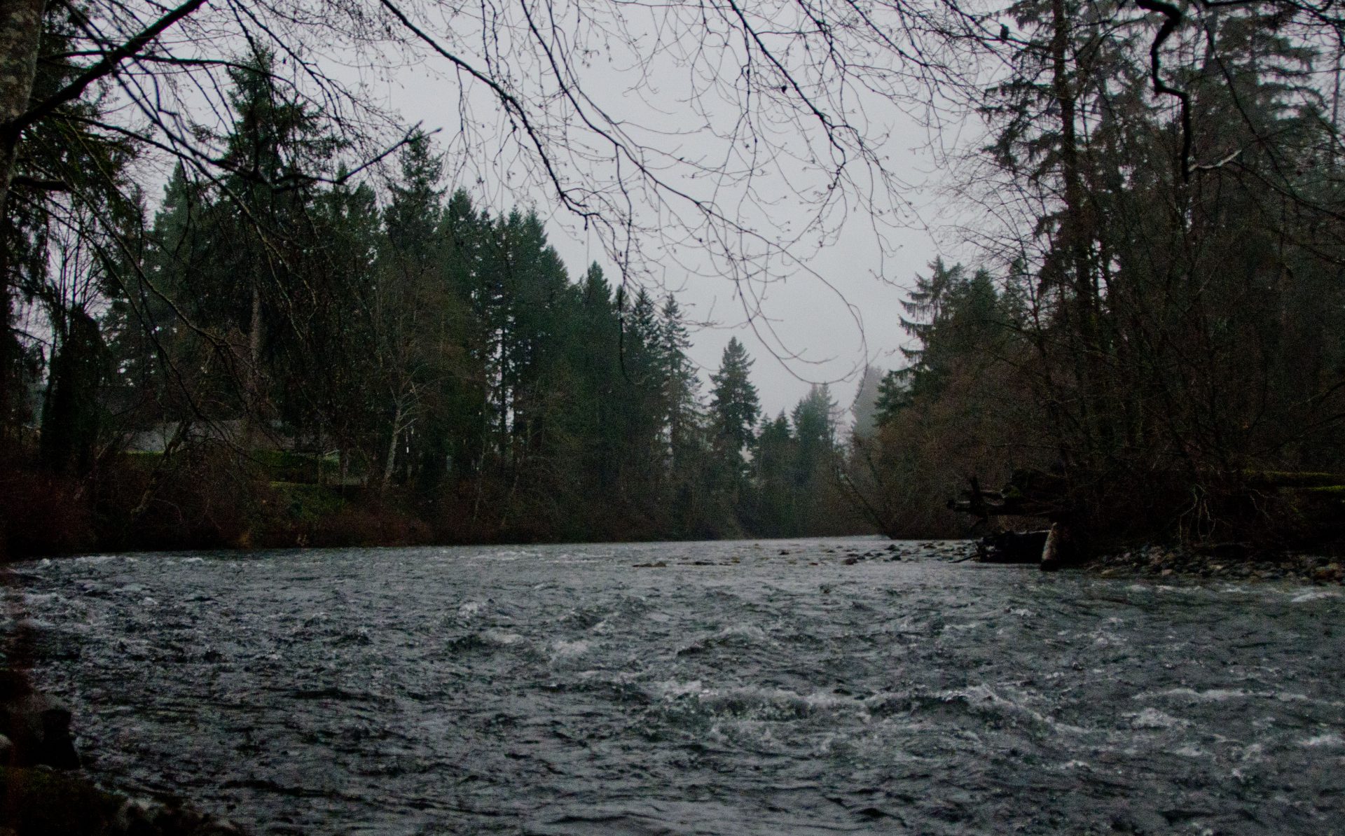
COURTENAY, B.C- Waters are rising on eastern Vancouver Island.
According to a notice issued by the River Forecast Centre, a river storm has been impacting the island throughout the day. Rainfall has higher than normal, with levels of 35 to 90 millimetres and 40 to 55 millimetres recorded in Courtenay and Port Alberni, along with other communities.
“Temperatures have also been rising, most notably on the west side of Vancouver Island, with observed temperatures in the sub-alpine at automated snow weather stations reaching the 2-4˚C range this afternoon,” read the notice.
“Snow melt at mid-elevation (300-800m) is expected to contribute to river runoff.”
River levels have been rising in response to the rain, with peak levels depending on the rain falling overnight.
“Environment Canada has a rainfall warning in effect for the region, indicating the potential for further rain this evening and Monday morning,” read the notice.
“Rivers are expected to continue to rise overnight, and peak on Monday. Larger rivers and those with lake influence, such as the Somass River, may not see peak levels until Tuesday. With the amount of observed rainfall already today, and the forecast for additional rain this evening there is the potential for rivers on Eastern Vancouver Island to reach up to flood stage overnight or Monday morning.”
Rivers covered by the flood watch include the Tsolum River, Oyster River, and the Englishman River, along with tributaries around Campbell River, Courtenay, Comox, Parksville, and surrounding areas.
Under a flood watch, river levels are considered to be rising to a point that may exceed their banks, with adjacent areas being flooded.
The next step would be a flood warning, which would mean rivers leaving their banks with flooding nearby. There have been no flood warnings issued as of this publication.


