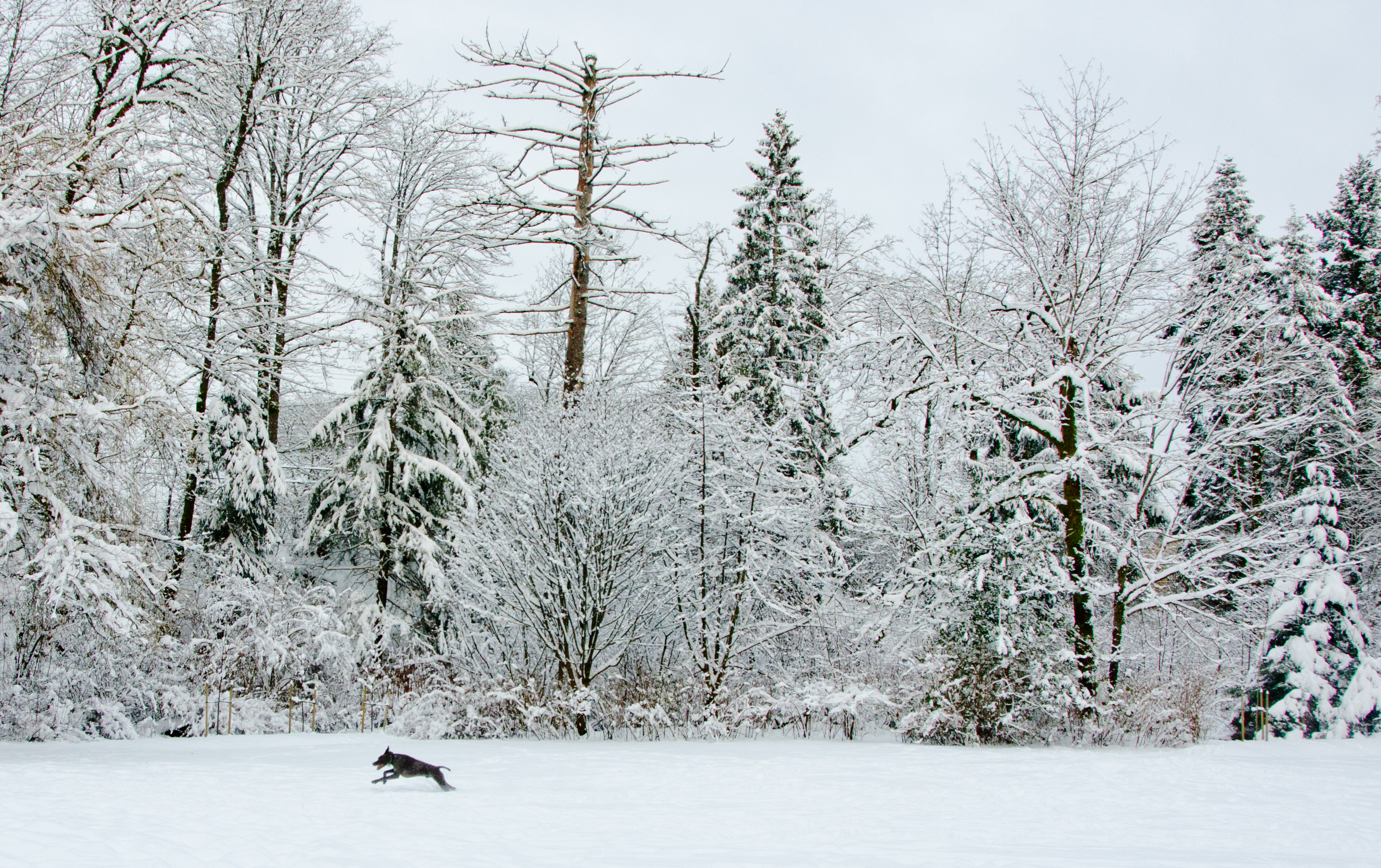
We could get some snow tomorrow night.
Environment Canada says it’s looking likely over the south coastal areas as we shift into cooler weather.
That includes the stretch from Campbell River all the way down to Nanaimo. Environment Canada says while there may be a few light flurries mixed with rain tonight, the first real opportunity for widespread low elevation snow is shaping up to be Thursday night.
Moisture being spread by a low tracking south along the coast, mixed with temperatures hovering near the freezing mark, will create the perfect conditions for the white stuff.
The agency added snowfall amounts will vary across the region. Current estimates are the higher elevations of Vancouver Island could see more than five cm fall.
The snow is expected to change back to rain Friday morning. However, with temperatures remaining below seasonal normals into next week, the chance of more snow remains.


