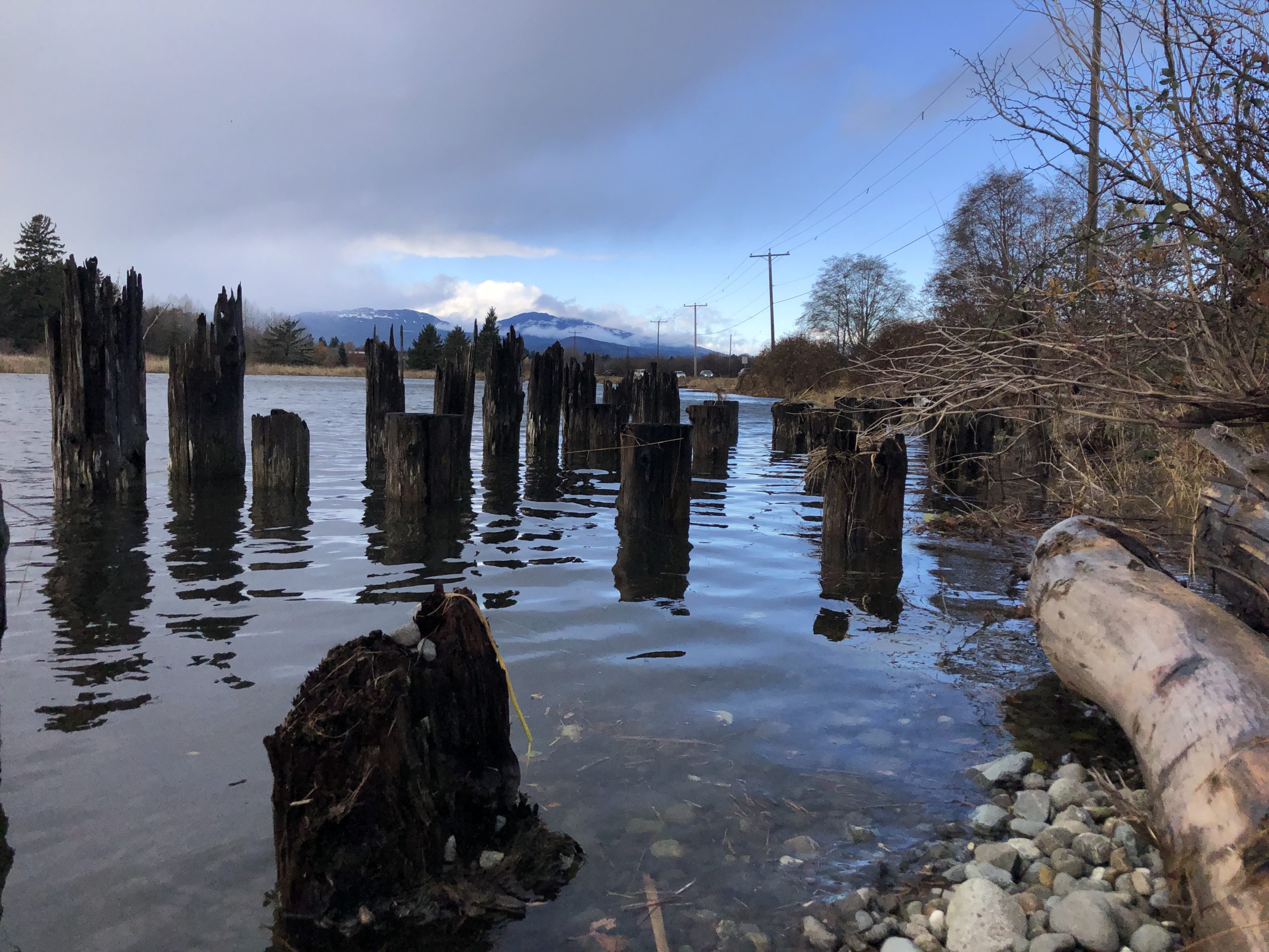
As water levels rise, the Comox Valley Regional District (CVRD) is offering information to address the risk.
The district will be having an online information session this month about coastal flood risks in the Comox Valley.
Sea levels are expected to rise because of climate change and will increase flooding from coastal storms in the area, according to the CVRD. They say planning for these changes will help reduce costs and impacts in the future.
Floodplain maps in Electoral areas A, B, and C along with K’omoks First Nation have recently been updated, according to the CVRD. They say the next steps are to learn how to lessen the risks.
“The next step in this project is to understand how the mapping data can be used to build a shared understanding of coast flood risk and options to mitigate that risk,” said Alana Mullaly, general manager of Planning and Development Services.
“We invite residents to attend the information session to learn more about building coastal resilience at the neighbourhood level.”
The information session will be held over Zoom on Nov. 30.
The district wants participants to register beforehand.


