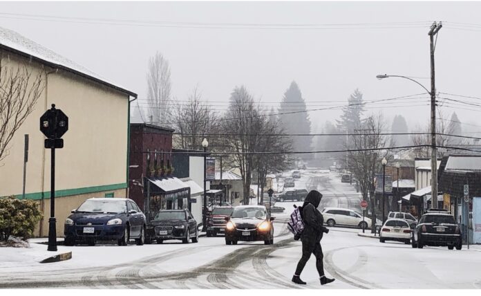
potential for snowfall on East Island roads and communities.
According to meteorologist Alyssa Charbonneau, the current weather pattern means we will have slightly cooler temperatures and precipitation. However, the amount of precipitation we get could affect what we see.
“Freezing levels are expected to be around a few hundred metres, but it could come down a little bit lower depending on how intense that precipitation ends up being,” said Charbonneau.
“When we get heavier precipitation, it can actually cool the atmosphere and help bring snow down a little bit lower.”
Charbonneau adds we could see snow across Vancouver Island Thursday and Friday mornings when the temperatures are cooler.
“Anywhere that’s a little bit higher elevation would be more likely to see that snowfall, like the Malahat or the higher elevation highways could see some rain mixed with snow or just snow,” said Charbonneau.
Despite the chances being lower, Charbonneau says that these systems can be a bit more unpredictable, and a close eye should be kept on it.
She adds that if we were to get snow, it is more likely it will fall in brief periods before it switches back to rain.
“These situations on the coast where we are right near zero and we’ve got some moisture coming are always worth keeping a close eye on,” said Charbonneau.
For travellers, Charbonneau is asking you to monitor conditions in case forecasts change and check DriveBC for more up to the minute information. She adds you should also make sure you have the right gear to be ready for the winter conditions.


