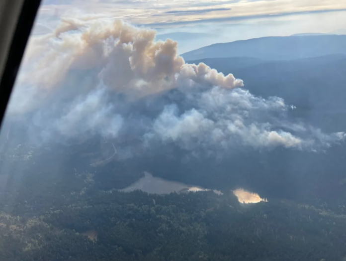
BC Wildfire Service is trying to prepare for this year’s wildfire season by using real-time predictive technologies.
The move is a part of the premier’s Expert Task Force on Emergencies and last year’s “successful” trial of the system. It will be first introduced in the Coastal and Kamloops fire centres, where it has already been tested.
The remaining four fire centres will get the technology in a phased-in approach. Minister of forests Bruce Ralston says this is necessary as we learn to respond to climate change impacts.
“During a wildfire, every second counts as wildfire professionals deploy aircraft and firefighters to tackle blazes,” said Ralston. “By adding more technology to the BC Wildfire Service’s tool kit, our talented firefighters will be able to make critical decisions faster when it matters most.”
The province says the tech will not replace the experience and skills of BC Wildfire Service staff, but it will help them make decisions and plan future operations. They add it works by using data from weather models, topography and fuel maps.
It can also use existing geospatial data and fuel maps and uses an app-based interface to allow for on-the-ground inputs in real-time.
“The availability of a common operating picture when facing rapidly evolving emergencies can be the difference between life and death,” said California Department of Forestry and Fire Protection former director Thom Porter.
“I’ve experienced the power of technology to transform the way response organizations work together to reduce impacts to communities and natural values.”
Senior wildfire officer of operations for the Coastal Fire Centre Greg Boyachuck says the software came particularly in handy when a slew of lightning strikes hit the area in late August.
“We were able to triage the new starts as they were discovered. The software was able to produce a predicted 12-hour fire spread for each new incident in less than 15 minutes, compared to a previous manual process which could take up to several hours for each incident,” said Boyachuk.
“That allowed us to identify which wildfires were a priority for initial attack resources based on their potential to spread and threaten communities.”
The province says other technologies are being trialled including using drones for aerial ignitions, infrared scanning for hazard assessments and 5G tech for more sensor networks used to monitor forest conditions.


