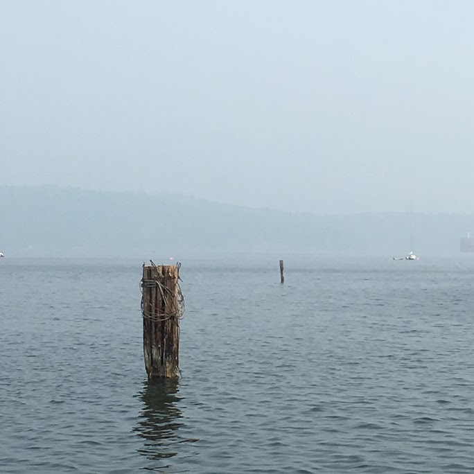
As wildfires burn on Vancouver Island and the Lower Mainland, smoke will remain light for now, but rain is not likely to benefit the Island.
That’s from Environment and Climate Change Canada meteorologist Ken Dosanjh, who adds the current south-westerly wind flow will push some thin smoke over the Sunshine Coast today (Thursday).
However, he adds it should lighten up with a weather pattern approaching tomorrow.
“We’re basically getting a low that’s going to be over Washington, it’s going to start to propagate closer to the coast, and the South Coast specifically,” said Dosanjh. “So, that will bring along with it some form of showers.”
Dosanjh says, though, the probability of the Island getting some rain is low for now.
“I would say the further east and the further inland you are, the likelier the chance you will see some form of precipitation,” said Dosanjh.
“At this moment, model guidance is suggesting that there is a low probability starting Friday and Friday night for the Island to actually see precipitation.”
The Sunshine Coast has a higher chance of rain at 60 per cent. Dosanjh adds that any rain that will come on the Island will not likely be enough to alleviate current drought conditions.
Once the system pulls through, there will be some reinforced ridging south of the Island and Dosanjh says that will bring more clear weather and lack of rain.
There are not many signs suggesting rain, he says, but there is a small chance there could be some rain next week. However, it depends on a lot of factors.
“The question becomes where, how far south or north it could go,” said Dosanjh. “At this moment there’s so much divergence the possibility of the next system could go anywhere from the Alaskan pan handle down to Victoria.”
Dosanjh adds that with some temperature records broken over the last few days combined with an unseasonably hot May and June, purchasing an air condition unit or fan if you have not already could be a big benefit for summer.


